Fire risk rising with summer heat.

This summer, farmers and rural land owners have experienced one of the driest, hottest periods ever, with pasture and feed supplies rapidly dwindling in the summer heat.
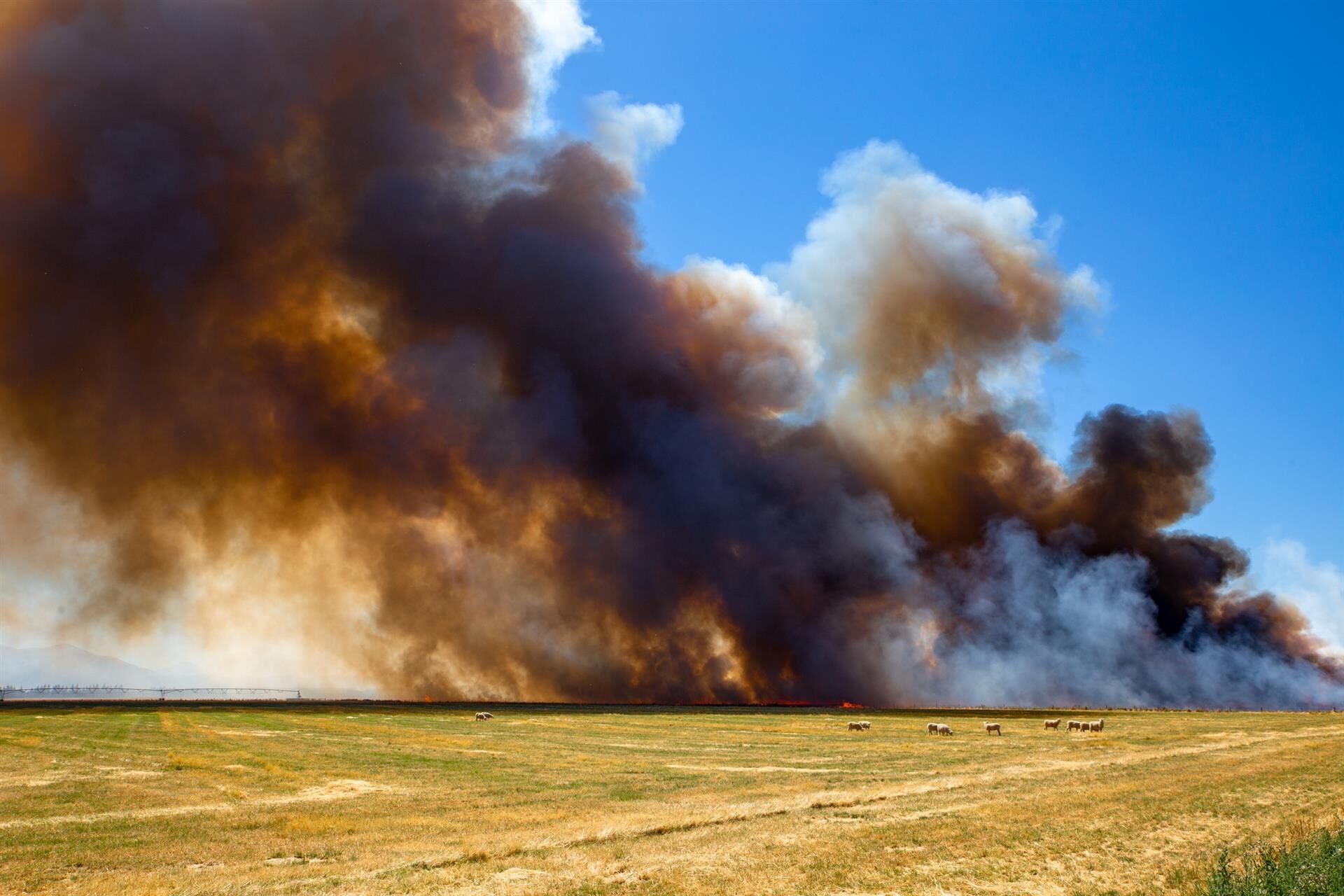
Another concern rising with the temperature has been the growing fire risk, now so great a fire ban applies across the entire North Island.
A tropical cyclone event would be welcome to change this, but future summers are likely to be painting a similar shade of brown across the country and fire risk is becoming a real challenge for New Zealand farmers to have to factor into their management.
Fire risk is becoming a real challenge for New Zealand farmers to have to factor into their management.
For farmers in some districts, like north Waikato, the ‘big dry’ has stretched since well before Christmas.
Paul Shaw, principal rural fire officer for the central North Island region is in the literal hot seat for rural fire management this summer. His region spans from south of Auckland right down to Taupo, and across to the west coast.
He is increasingly concerned at the lax attitude often witnessed by lifestyle block owners and farmers about fire control over summer. He has already overseen several major fires this summer season, and is conscious the risk will continue for some time yet.
Horse studs can be vulnerable to fire over summer after the stables have been mucked out and straw starts to smoulder and ignite. “We have already been called out to one of those in Waikato this month.”
Bayleys Whanganui salesperson Knud Bukholt was a fireman for 11 years before becoming a realtor.
He considers Whanganui a generally a lower risk area for rural fires, and it would be a long time before one equalled the historic Raetihi fire in March of 1918. The fire destroyed over 100 buildings and killed many livestock which were unable to be buried for several weeks. Until this year it was the hottest summer in living memory and the fire killed a family of three near Raetihi.
“We recently sold a property with a house on it only 5km from the coast at Maxwell, and beneath it was the ashes of a house burnt in the Raetihi fire, many kilometres from where it started.”
The 2017 Port Hills fires highlighted some major issues concerning rural landscapes that needed to be addressed to avoid future fires having the same impact. Homes with trees, shrubs and overhanging branches near them were highly susceptible and authorities have been recommending “defensible areas” be defined in higher fire risk areas. This is the area around the home or buildings at risk where vegetation has been modified, reduced or cleared to create a barrier and slow the spread of fire toward your home.
A safety zone also allows space for firefighters to fight the fire safely. Zone One on a defensible area should ideally extend 10m and fire resistant plants planted along the lawn edges to act as a natural fire break. These plants typically have a moist leaf, little dead wood and low levels of sap or resin. Fire and Emergency NZ recommends a number of natives that are suitable, including Kapuka and New Zealand fuschia.
Zone One on a defensible area should ideally extend 10m and fire resistant plants planted along the lawn edges to act as a natural fire break. These plants typically have a moist leaf, little dead wood and low levels of sap or resin.
Working with Scion, Fire and Emergency has also identified species best avoided in higher fire risk areas due to their flammability. These include totara, kanuka and manuka.
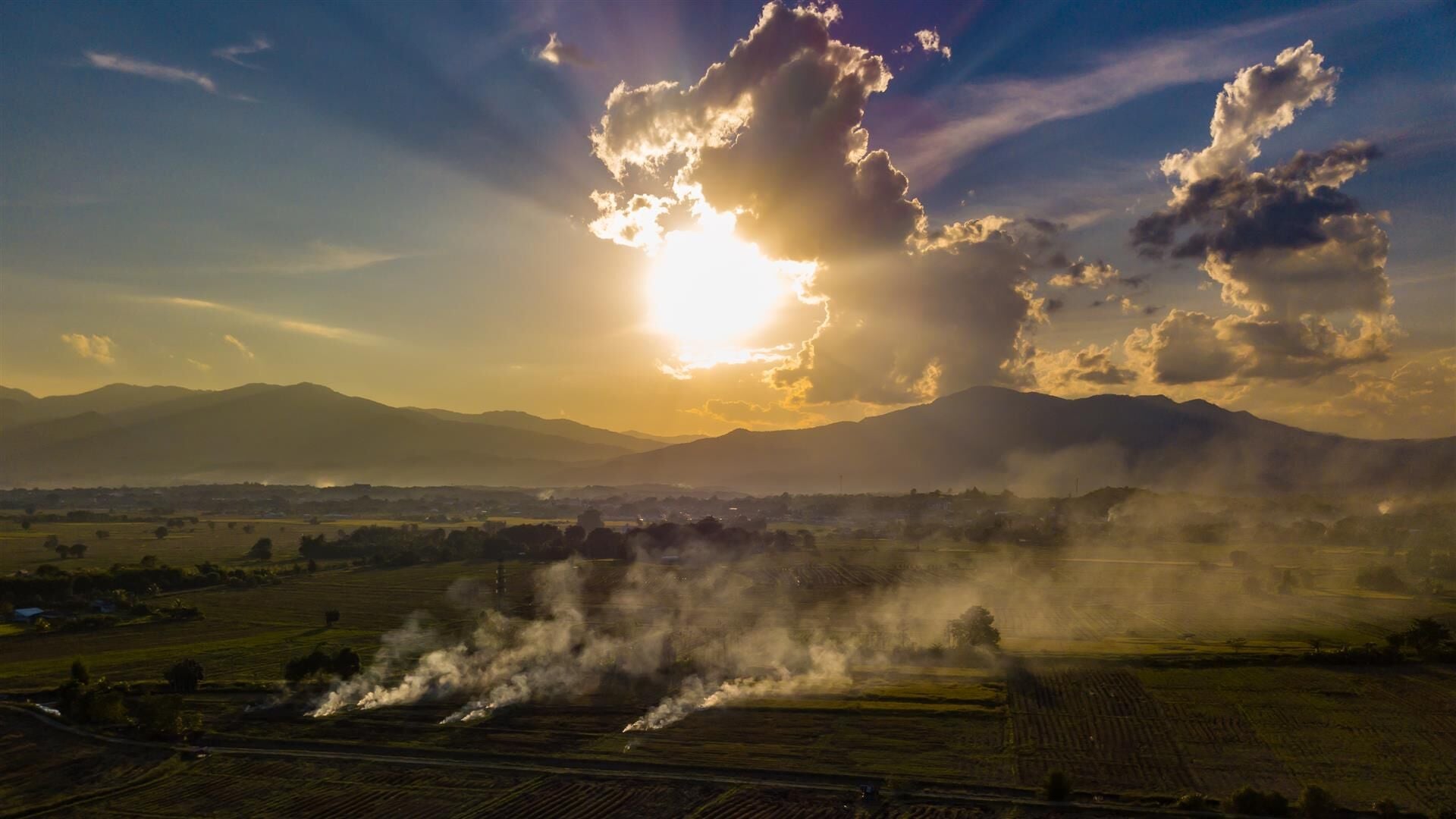
A further “outer zone” extending from 10m beyond buildings to 30m outer radius can also be maintained. For farmers who use fire as a means of crop residue burn off, hotter summers and less humidity may mean they will have to reconsider their options.
Scion is also working with farmers and fire researchers to develop a ‘what if’ tool that will use a Fire and Smoke Modelling Framework presently under development. It will incorporate local data sources, including satellite data for farmers and land managers who do controlled burn-offs. They can run “what-if” fire and smoke scenarios with weather, fuel, and burn area data and see what the outcomes are likely to be, and if, for example, their burn-off might place smoke over an airport or dilute quickly given the wind conditions. As farmers in an increasingly crowded, subdivided hinterland deal with the reverse sensitivities of non-farming neighbours, such a programme will provide proof they have exerted due care and research before igniting their burn-off.
Paul Shaw advises land owners need to reassess their behaviour in a newer, hotter summer climate. “Because you may have always done something like light a rubbish fire doesn’t mean you can keep doing it. People really need to stop and think about the impact of what they are doing, should it get out of hand.”
